Coral Restoration and Monitoring Program
(previous page)
4/27/03
Report to Florida Fish & Wildlife Conservation Commission
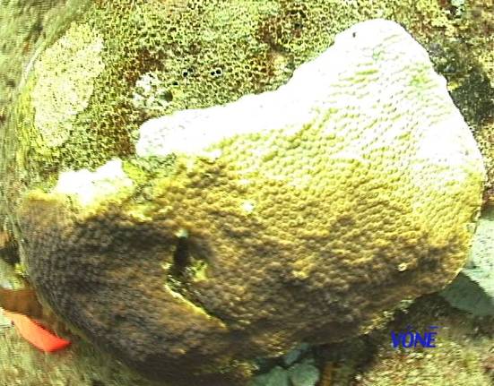
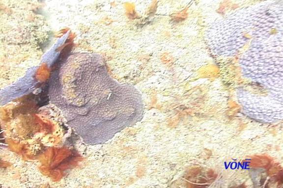
Enclosed is the baseline report, as required by SAL #03SR-741, showing firm attachment and health of the corals on the repair site. We went back a week later and verified the stability and health of the reattached specimens. This report includes pictures of each repaired coral and also the corals on the control site less than 20 feet away. Coral # D was listed in the permit application as in poor condition and it has not improved.
All corals on both sites are within the DGPS below.
Latitude 25 degrees, 15.866 minutes N
Longitude 80 degrees, 04.276 minutes W
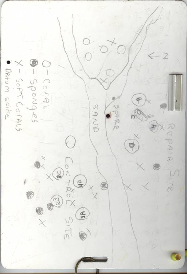
All corals are referenced to a stainless steel rod, called “datum spike”, in the drawings..
Figure #1 Drawing of the site from divers slate (map p1.jpg)
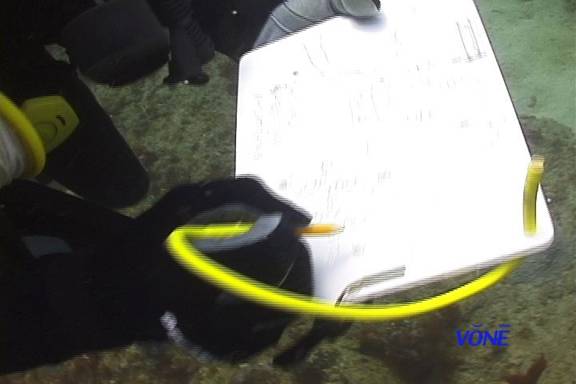
Figure #2 Picture of divers hands holding slate underwater (dr 1.jpg)
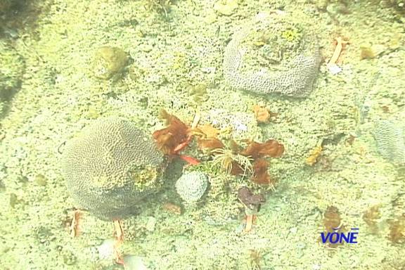
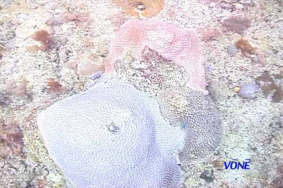
Figure #3 Three repaired corals in same picture (abc.jpg)
Figure #4 Coral D, damaged before we got permit (d.jpg)
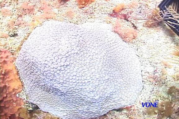
Figure #5 Control coral #1 (1.jpg)
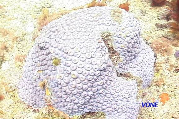
Figure #6 Control coral #2 (2.jpg)
Figure #7 Control coral #3 (3.jpg)
Figure #8 Control coral #4 (4.jpg)
All corals are Montastrea sp ( probably cavermosa )
|